Natural areas
More than three hundred natural sites and nature reserves
Natural areas
More than three hundred natural sites and nature reserves
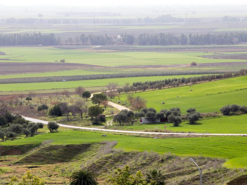
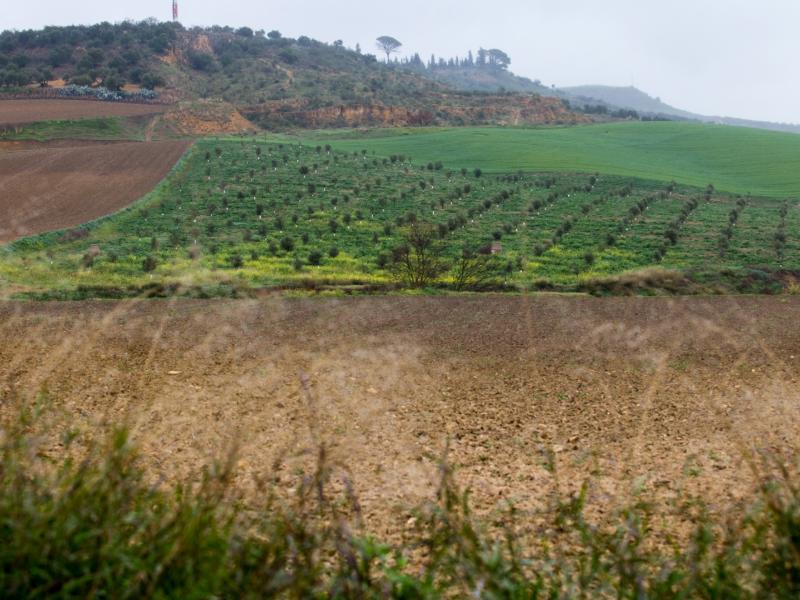
The Cornisa de los Alcores crosses the municipalities of Carmona, El Viso del Alcor, Mairena del Alcor and Alcalá de Guadaíra in a northeast-southwest direction. This sloped plateau stands out against the flat countryside of the Guadalquivir Depression in which it is located. It is a relatively low plateau of up to 242 metres with moderately steep slopes. This 30-kilometre long, elongated plateau has a triangular shape with varying widths. It ranges between 1 kilometres in Carmona and 10 kilometres in Alcalá de Guadaíra, the two towns in the extremes. There are 17 “alcores” or hills along the plateau. The north and south slopes of the Cornisa have different characteristics. The north has gently sloping hills, which descends towards the Vega del Guadalquivir, creating an undulating landscape, with altitudes between 40 and 100 m. The southern slope is steeper, particularly in the area of Carmona.
The geological makeup of Los Alcores is calcarenite, detrital limestone with many fossils from shallow platform deposits on blue clay loam. Although these materials have not undergone folding, they have experienced uplift and subsidence, as well as differential erosion. This has created a tabular relief, typical of extensive sedimentary basins, in which different subsoil materials are stacked in horizontal layers.
It should be noted that there is a large underground aquifer, supported by calcarenites, that is recharged with rainwater. The access to the water is through wells and springs. Numerous springs have their headwaters in the Cornisa. These streams belong to the Corbones sub-basin, which borders the Cornisa to the east and the Guadaíra sub-basin to the west.
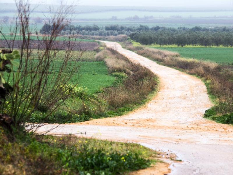
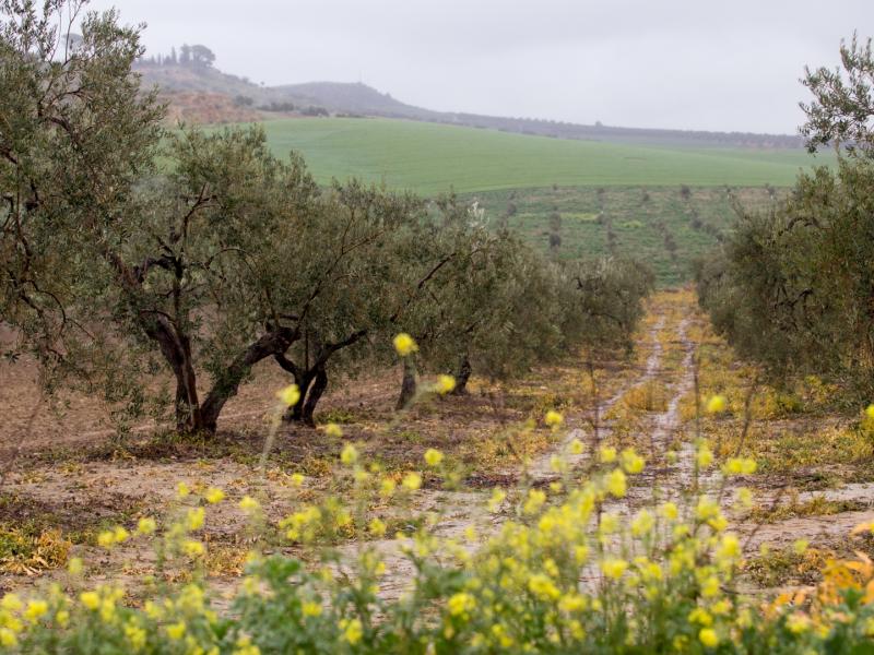
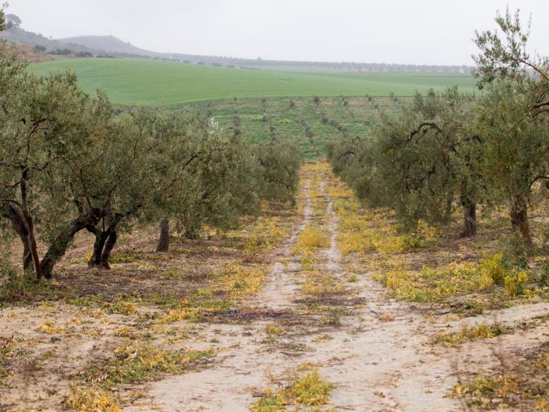
Most of the Cornisa is given over to agricultural land or devoid of vegetation, especially near the town of Carmona. There are still patches of natural vegetation in the Alcaudete and Judío wooded meadows to the southwest of the plateau, and well-preserved shrubs near the Batida Caves to the north. The fauna is typical of cultivated areas and highly anthropised. It consists of a few bird species, small mammals and reptiles.
The geological materials of Los Alcores have been exploited since ancient times. The calcarenites have been mined in quarries and used as building blocks or ground to obtain yellow “albero” sand, which is used for different purposes. Marls have been used for pottery, and the calcarenite aquifer has supplied water to nearby towns and even the city of Seville.
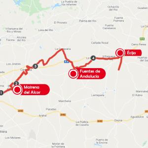
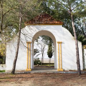
The Alconchel and Molinos streams rise in the municipality of Mairena del Alcor, located in the centre of the plateau along with El Viso del Alcor. The two streams are seasonal and flow into Salado Stream, a tributary of the River Guadaíra. The municipality of Mairena del Alcor is home to the Castillo de la Luna, a castle situated in a privileged location on the plateau. The Castle houses the Bonsor House-Museum, dedicated to the British archaeologist George Bonsor, who died in 1930. He excavated and studied different Andalusian archaeological sites. He bought this Castle as his home.
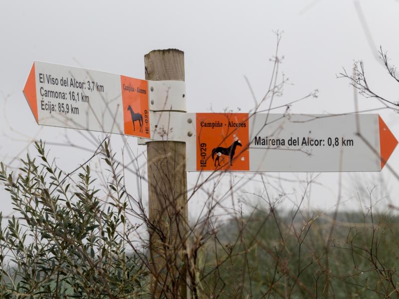
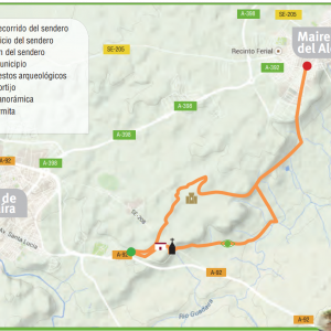
Access is free. Take the A-398 road towards Mairena del Alcor.
Facilities: Alcores Greenway.
The town of El Viso del Alcor sits atop the Tablada Hill. The east and northwest slopes, as well as the Milhoja Ravine, make up La Muela Park. Fountains and springs abound in the area, fed by the underground calcarenite aquifer. Notable among these are the Fuente del Sol and the Fuente de la Muela. The latter was built in the 18th century and renovated in 1983.
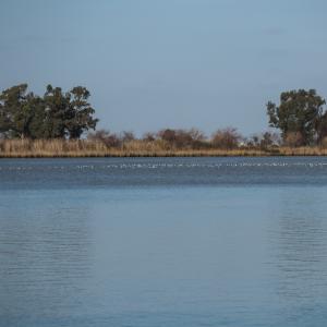
There are two streams inside the park: La Muela, along the main axis of the park, and La Meloja. La Muela Park is populated, among others, with white poplars, ashes, pines, carobs and eucalyptus trees, as well as ornamental trees and a large variety of shrubs. Mimosa, wild olives, carobs and a 200-year old mulberry tree grow near the Fuente del Sol, and the recreational area is surrounded by olive trees. To the south of the picnic area is an old quarry, now transformed into a small wetland, where a variety of birds may be watched. La Tablada is an area of archaeological interest, with human settlements dating back thousands of years. The Fuente del Sol from the Copper Age is particularly noteworthy. The Romans built another fountain over the remains of this spring. The current appearance was created in the 20th century.
Access is free. Muela Park is fenced in by La Muela, Sol and Camino de la Estación streets, the Alcores Greenway and the Tablada breakline.
Facilities: La Muela Park. La Muela, Tablada and Calvario lookouts and the Balcony of the Alcores. Alcores Greenway.
Natural vegetation is scarce in the area. It has been replaced by crops, mainly olive groves, although there is a small patch of shrubs to the south of the plateau.
The fauna is typical of cultivated and highly anthropised areas, with a few bird species, small mammals, such as rabbits and mice, and reptiles. Worthy of note is the presence of the kestrel, which nests in the Castillo de la Luna.


0 comments
New comment
The comments are moderated, so it takes a while to appear. If they contain offensive language they will not be published.