Natural areas
More than three hundred natural sites and nature reserves
Natural areas
More than three hundred natural sites and nature reserves
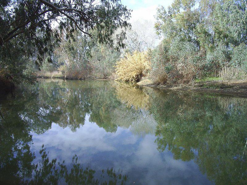
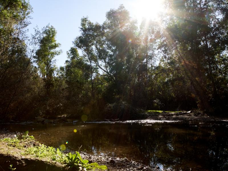
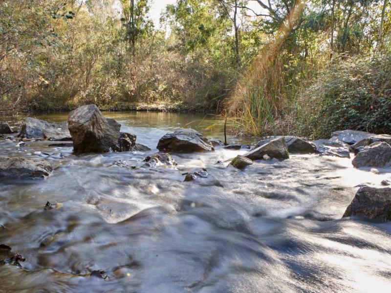
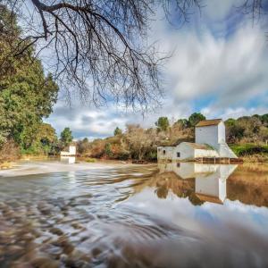
The River Guadiamar rises at El Castillo de las Guardas and an affluent on the right bank of the River in the Doñana marshland.
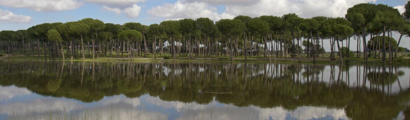
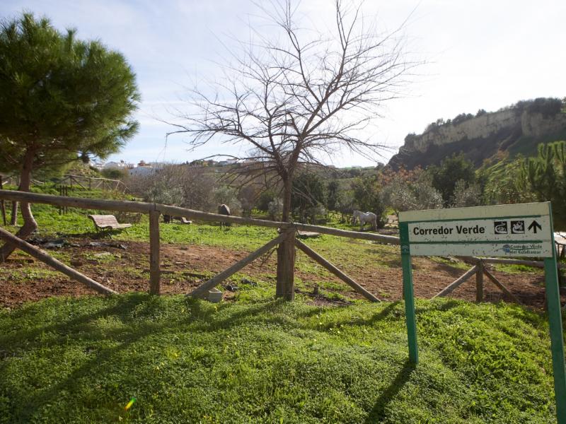
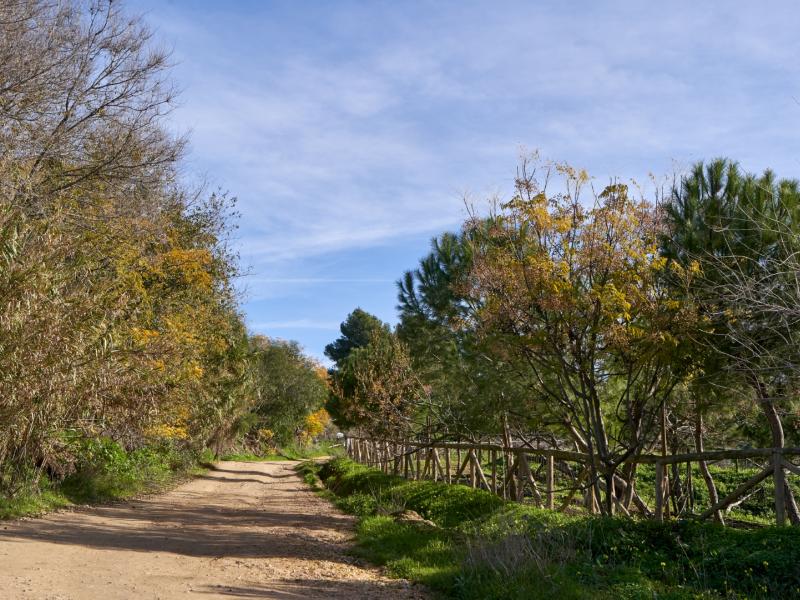
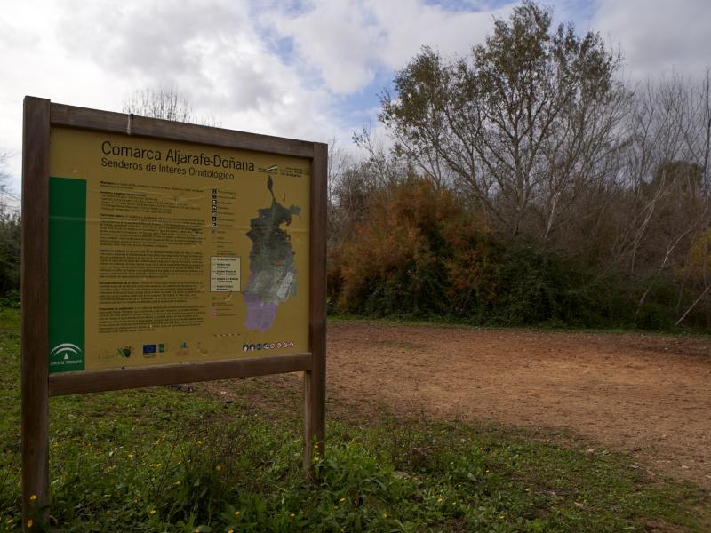
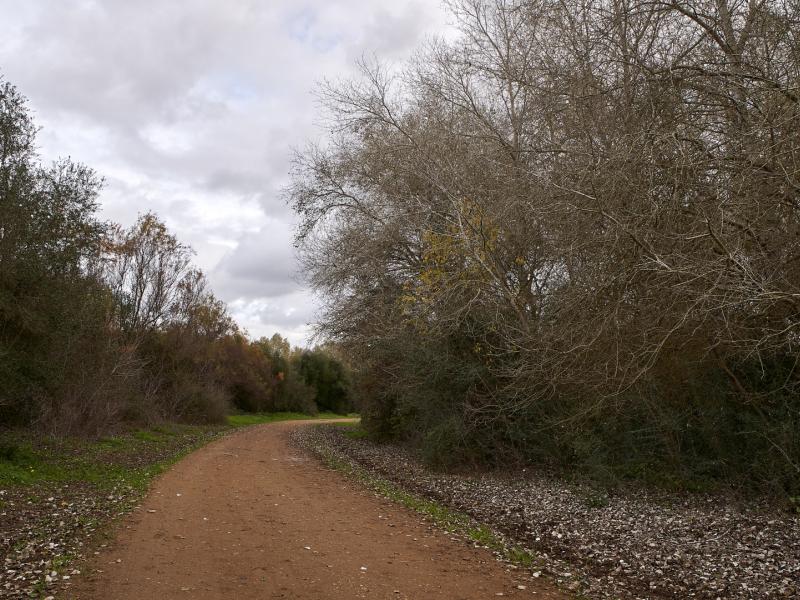
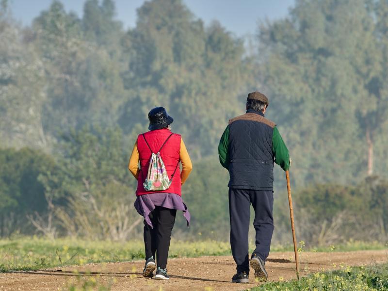
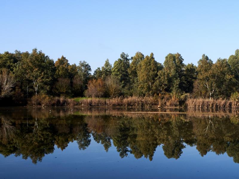
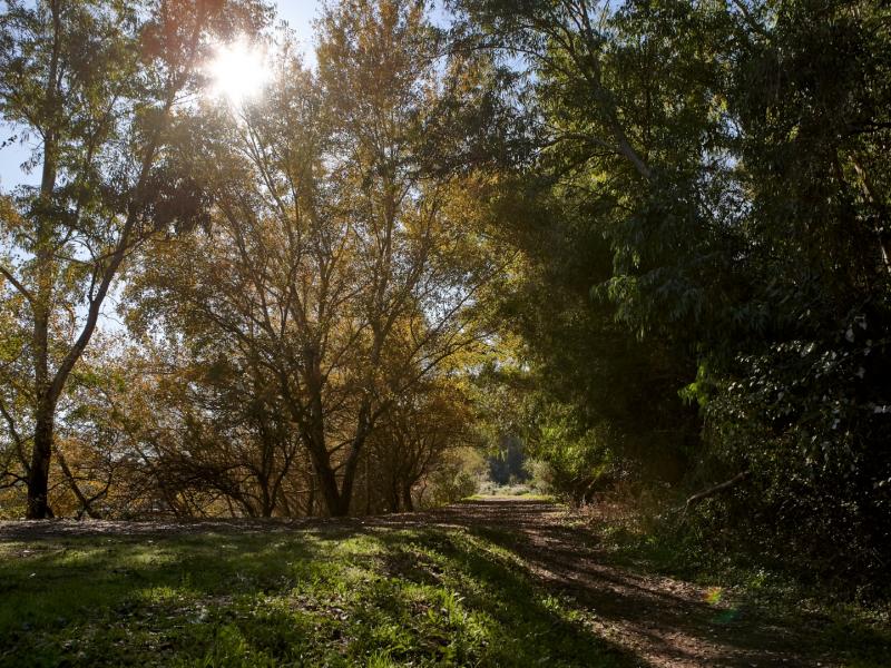
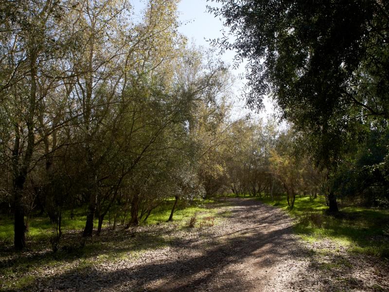
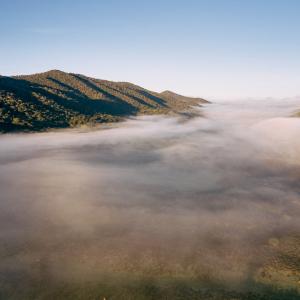
The Green Corridor runs along the middle section of the River Guadiamar forming an ecological corridor that connects Doñana with the Sierra Morena. It consists of a variety of ecosystems, including riparian, river marshes and Mediterranean forests. This was the first Protected Landscape in Andalusia.
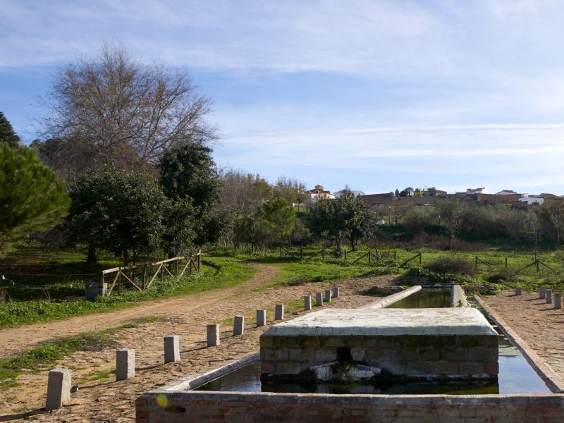
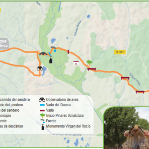
The first section of this Green Corridor begins at the kilometre 13 marker on the road connecting Gerena with Aznalcóllar (A-477). The public entrance to the Corridor is on the left. One can use this access or continue a little further north, taking the path to the right, to see the open pits and some pastures. This first section is about 15 km long, up to the Cuesta de las Doblas bridge on the N-431 road at Sanlúcar la Mayor.
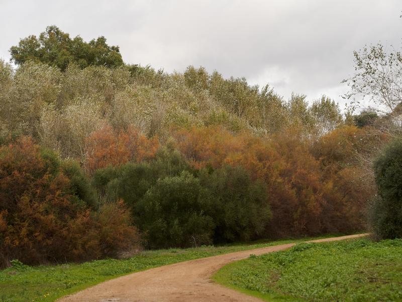
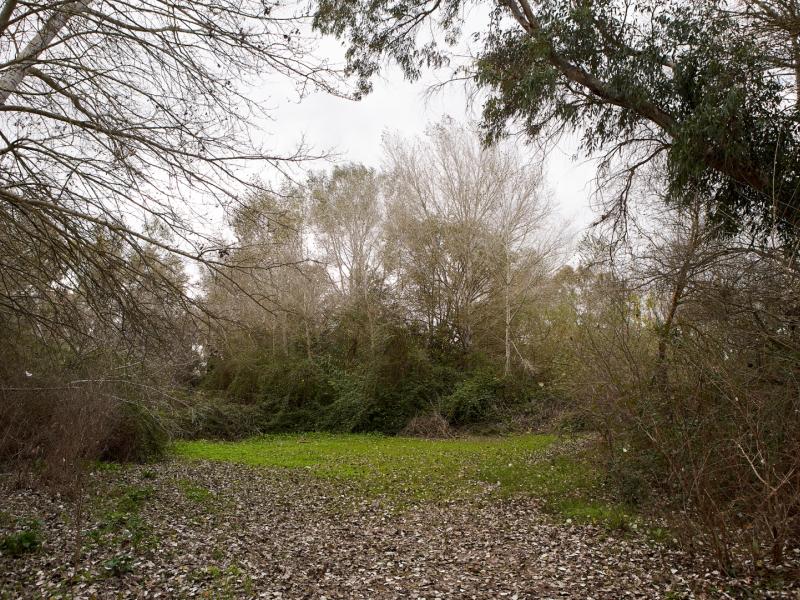
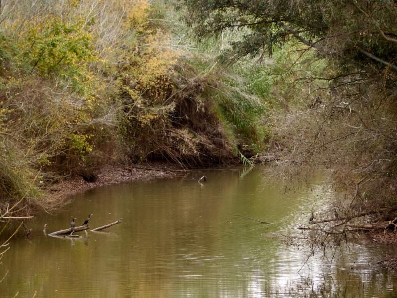
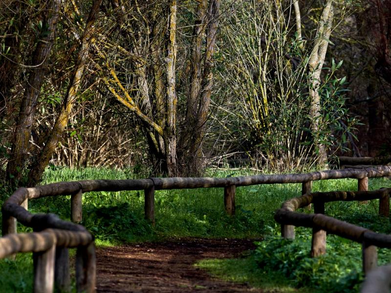
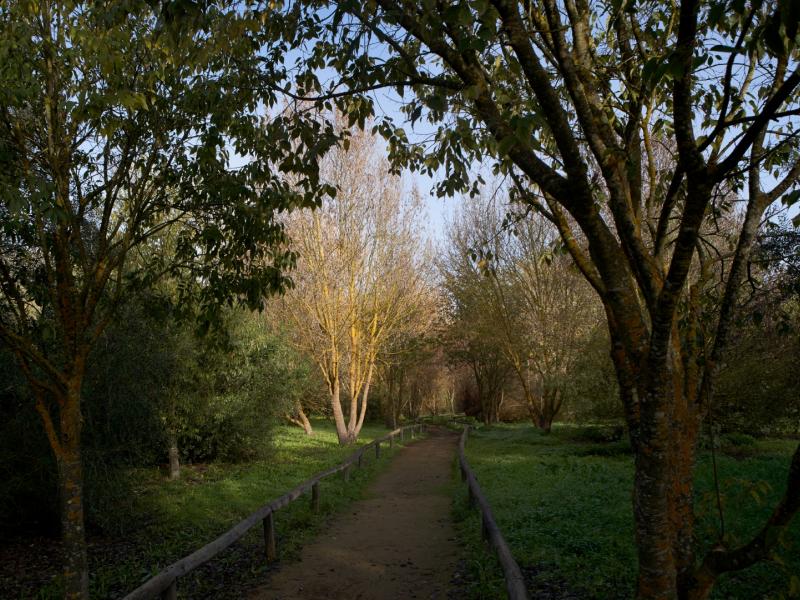
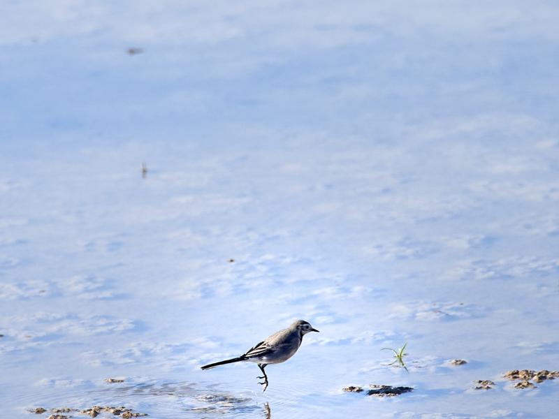
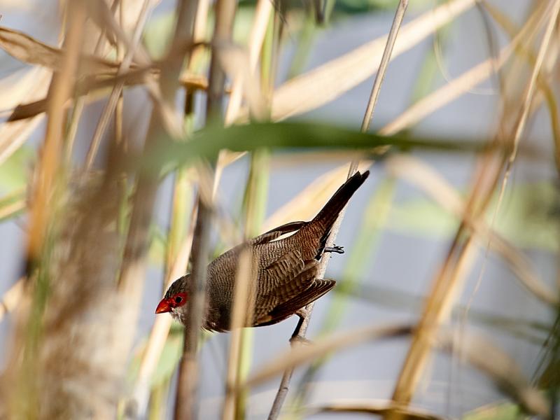
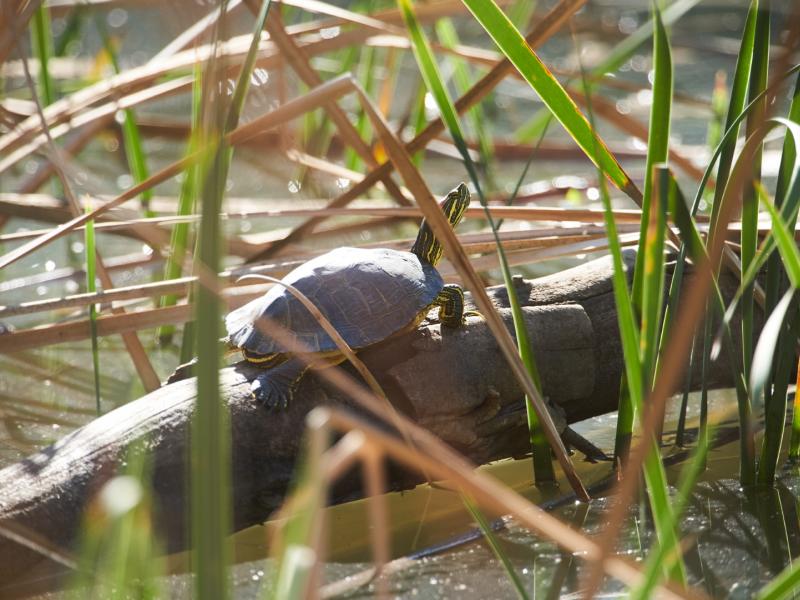
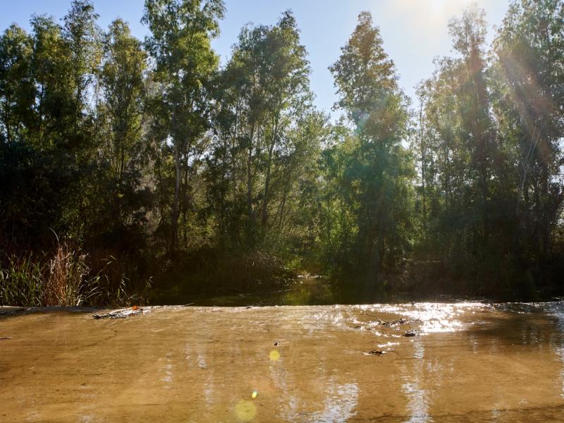
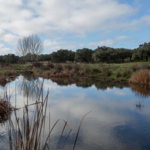
The Guadiamar Green Corridor crosses Sanlúcar la Mayor from north to south in its middle section. The Las Doblas recreational area has an artificial seasonal lagoon bridged by a wooden walkway. The lagoon has marsh vegetation, primarily reeds and French tamarisk. It is home to a varied waterfowl. Both the lake and the recreational area are located in an abandoned gravel pit, now restored, where marsh and riparian vegetation abounds, such as poplars, ashes, elms, oleanders, Mediterranean hackberry and willows. There are Mediterranean woodland species in the outlying areas, including evergreen oaks, European olives, carobs, strawberry trees, mastics.
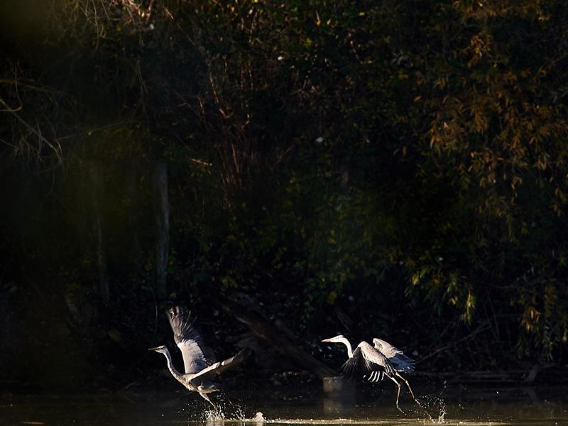
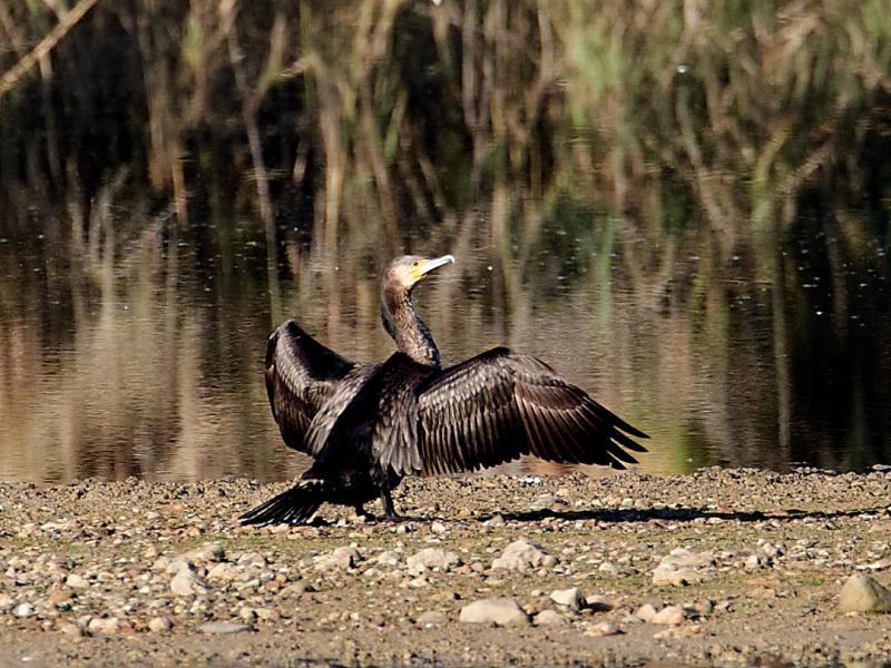
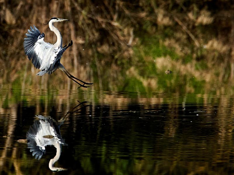
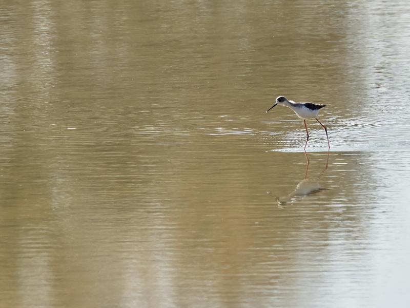
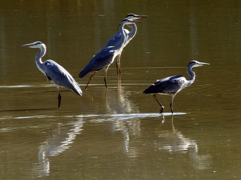
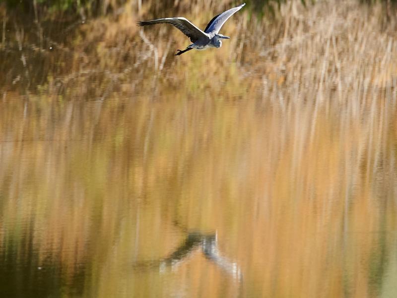
The El Palmar Observatory is located further north along the public path. One can watch wading birds such as grey herons, little egrets and white storks, as well as other species, including western swamphens, mallards or common coots. There are also birds of prey like the Western marsh harriers, purple herons, squacco herons and little bitterns.
Facilities at Sanlúcar la Mayor: Las Doblas recreational area, Las Doblas path, El Palmar Observatory, public path in the Green Corridor.
Olivares stretches from the Aljarafe plateau to the Guadiamar river bank. The Green Corridor runs through a strictly agricultural landscape given over to sunflowers, cereals and olive crops. This town is also where the River Guadiamar and the River Agrio, its tributary, meet.
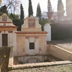
Highlights include the Coriana fountain and watering trough. Although they are outside the Green Corridor protected area, they are strategically located at the crossroads of different drovers’ trails. The Coriana fountain can be reached by the Cordel de los Carboneros.
Facilities at Olivares: Coriana recreational area, access path to the Green Corridor, which runs from Coriana recreational area to Aznalcóllar’s tailings pond, and public paths of the Green Corridor.
The Green Corridor passes through the western part of Benacazón just below the Aljarafe Cornice. Above this cornice is the Cárcava lookout with views of the River Guadiamar and its riparian gallery forest. A little further ahead, the landscape consists of scrubland and Mediterranean forest, and the countryside with dry farming crops.
Benacazón is one of the access points to the public path of the Green Corridor.
On the left bank of the River Guadiamar stands the Guadiamar Tower, with the remains of a Mudejar-style shrine and the Castilleja de Talhara Shrine near the namesake farmhouse.
Facilities at Benacazón: La Cárcava lookout and public path of the Green Corridor.
The Guadiamar Green Corridor also crosses through a small area in the eastern part of Húevar del Aljarafe. The Green Corridor’s public path can be accessed from the town’s centre via the Húevar footpath, which crosses the Corridor and runs to Benacazón.
As the River Guadiamar runs through Huévar del Aljarafe, it river receives inflows from the San Cristóbal Stream, which flows through the eastern part of Huévar and passes next to the town before it discharges into the Guadiamar.
Factilities at Húevar del Aljarafe: Public path and Huévar path.
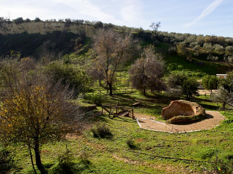
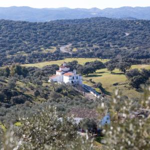
Gallery forests abound near Aznalcazar. The town is also home to the Guadiamar Visitor Centre. At the beginning of the route, several marks on the trees provide a sober reminder of the levels reached by the tailings spilt during the Aznalcóllar Disaster. On 25 April 1998, a tailings pond at Los Frailes mine, near Aznalcóllar (Sevilla), burst and released 4–5 million cubic metres of mine tailings. This was one of the biggest environmental disasters in Spain. It triggered greater awareness of the need to protect this ecological corridor that links Sierra Morena with Doñana, enabling the movement of species between both areas.
Facilities at Aznalcázar: the Guadiamar Visitor Centre, the Buitrago Botanical Garden and recreational area, and public paths of the Green Corridor.
The Green Corridor can be accessed from Villamanrique de la Condesa via two paths: the Isleños and the Labradores. The River Guadiamar runs through the northeast of the municipal district of Villamanrique before it enters Aznalcázar, flowing towards the well-known Quema Ford.
Facilities at Villamanrique de la Condesa: Access paths from Villamanrique de la Condesa.


0 comments
New comment
The comments are moderated, so it takes a while to appear. If they contain offensive language they will not be published.