Seville enchants
Seville enchants
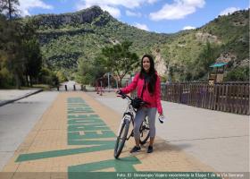
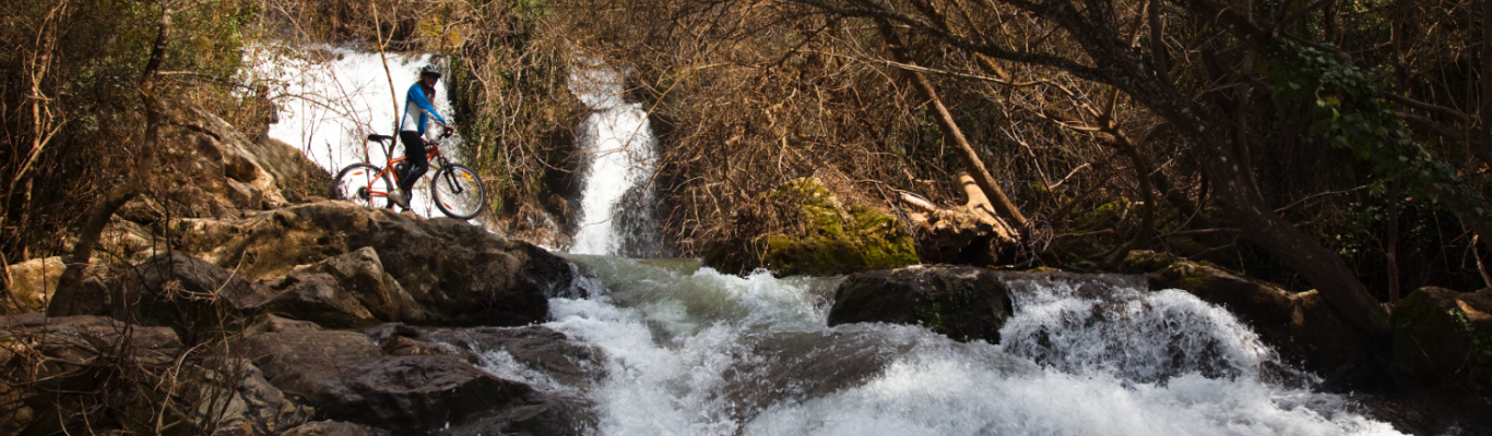
This route has been declared of tourist interest and is promoted by the Vía Verde de la Sierra Sierra Foundation.
Like the Sierra de Becerrero, this mountainous area next to the town of Gilena belongs to the Sub-Baetic Zone, one of the outlying areas of the Baetic Mountains, and is made up of marl and limestone. The highest point in the sierra is the Acebuchosa peak, at 663 m.
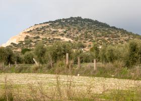
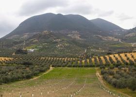
The Sierra de Montellano, also known as the Sierra de San Pablo, on whose slopes the town is located, is a limestone formation that reaches an altitude of up to 600 m, and which preserves natural vegetation of great interest for a town whose surrounding area is occupied largely by arable crops and olive groves.
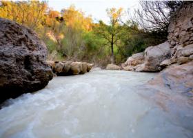
The River Corbones is a tributary on the left bank of the River Guadalquivir. It rises in the Blanquilla, Mollina and Los Borbollones mountain ranges in the provinces of Cadiz and Malaga.
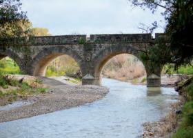
Although the River Guadalete, which discharges into the Atlantic Ocean, runs almost entirely through the province of Cadiz, it crosses the southern part of the municipality of Montellano, flowing parallel to the Sierra Greenway. It rises in the north of Sierra de Grazalema and travels 157 km to El Puerto de Santa María in Cadiz. The approximate total area is 710.34 ha.
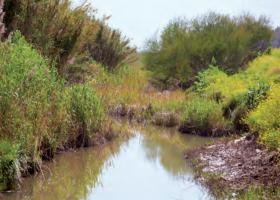
The Salado de Morón Stream rises in the province of Cádiz and runs through Seville, crossing the towns of Montellano, El Coronil, El Palmar de Troya, Morón de la Frontera and Utrera until it reaches the River Guadalquivir, at the end of the Brazo del Este channel.
The Sierra del Tablón, on the border of the province of Seville with the northeast corner of the province of Cadiz, belongs to the foothills of the Sub-Baetic zone of the Betic mountain ranges, which in Seville are called the Sierra Sur.