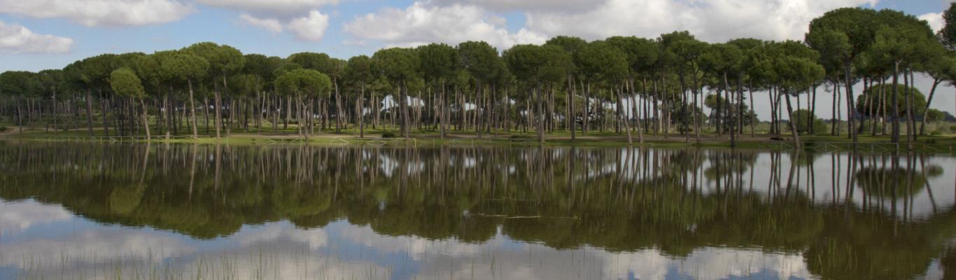
Natural areas
More than three hundred natural sites and nature reserves
Natural areas
More than three hundred natural sites and nature reserves
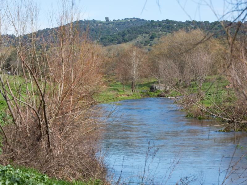
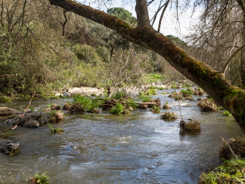
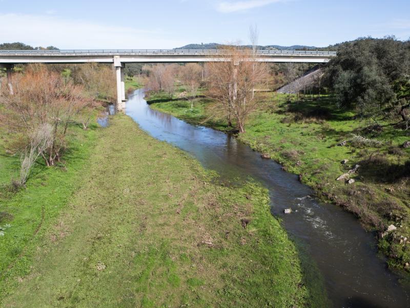
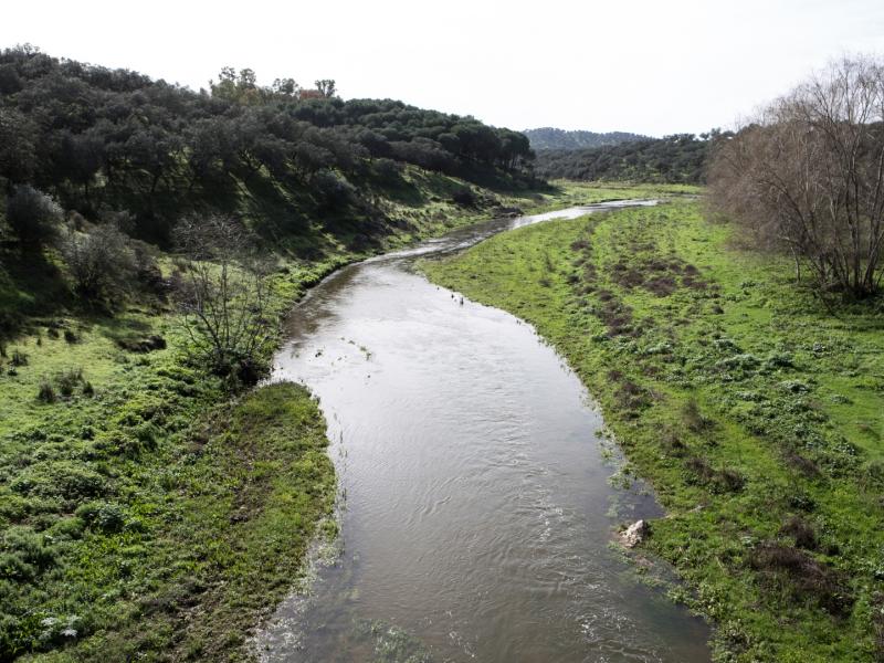
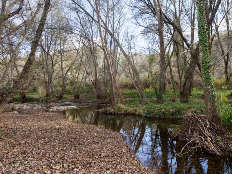
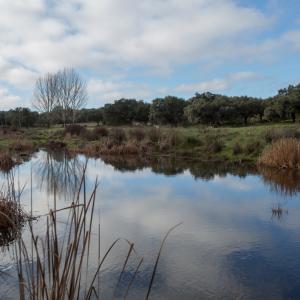
The Rivera del Huéznar is one of the three great rivers of the Seville’s Sierra Morena, along with the Viar and the Retortillo. Like all the tributaries of the right bank of the Guadalquivir, into which it flows at Tocina, it is a short river, with a winding course and a pronounced gradient.
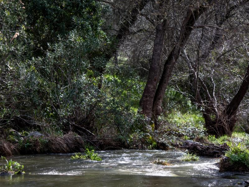
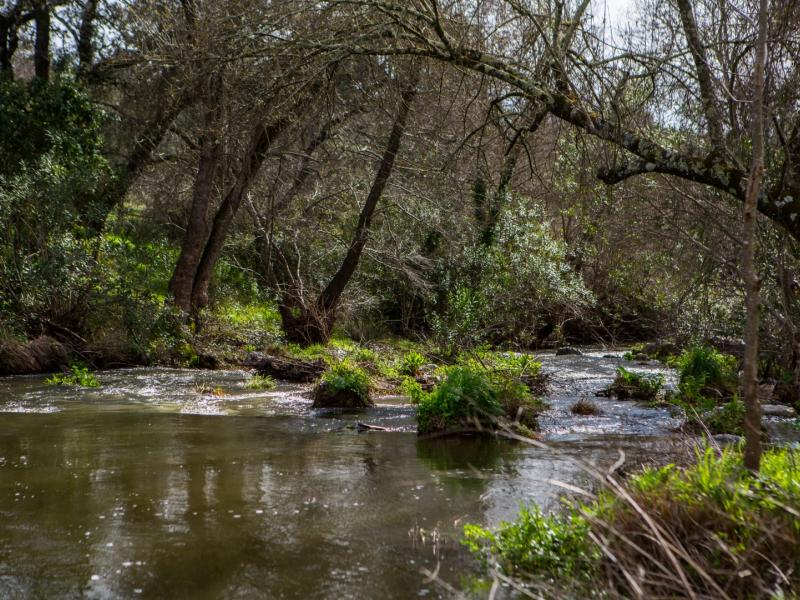
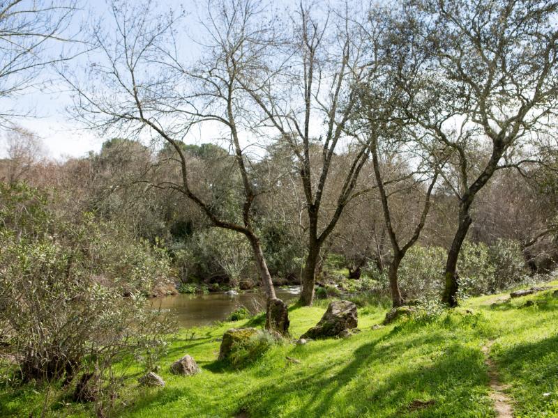
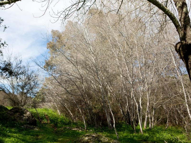
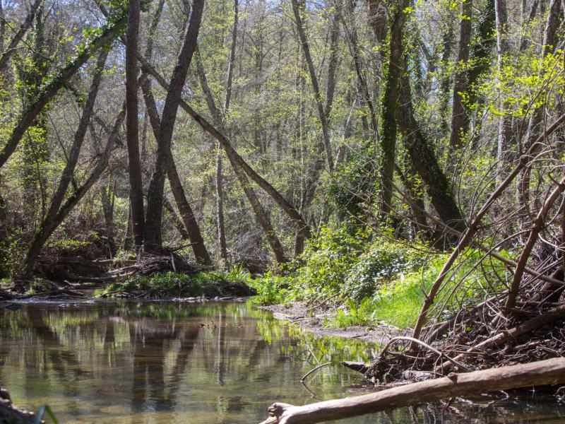
Along the course of the Rivera del Huéznar there is a very well developed gallery forest, which in some sections preserves the diversity of species that characterises this kiind of woodland. This dense riverbank vegetation serves as a shelter for a great variety of birds, which take refuge and nest in the trees bordering the river, including kingfishers, dippers and nightingales. There are also small mammals, including otters, which only live in rivers with protected banks and clean waters, fish such as common trout, bogue, loach and roach, and crustaceans.
________________________________________
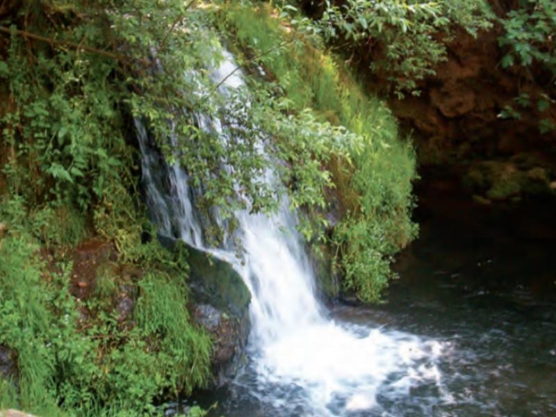
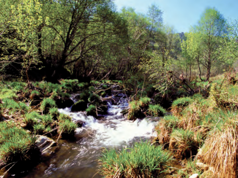
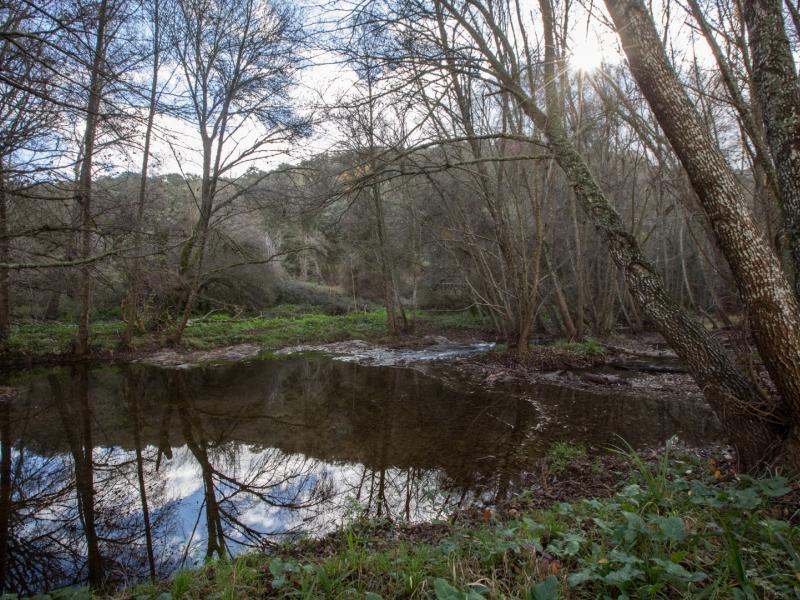
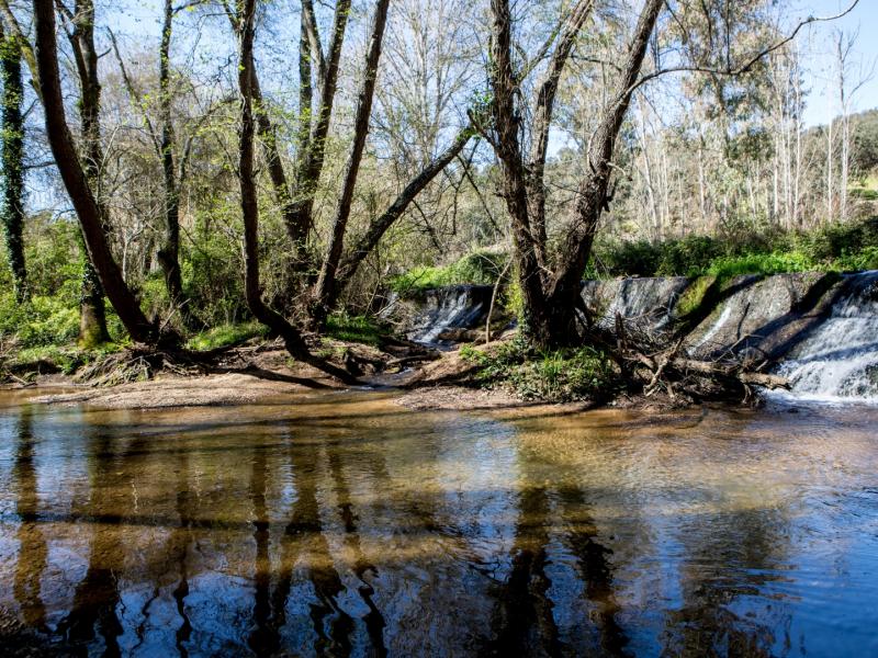
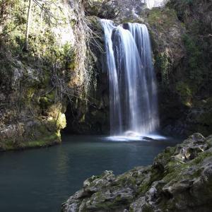
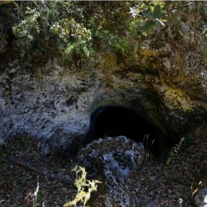
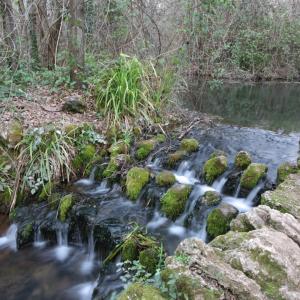
The source of La Rivera del Huéznar is in San Nicolas del Puerto, in addition to the Hueznar Waterfalls Natural Monument.
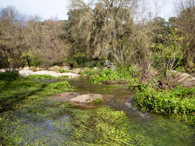
The source of the Rivera del Huéznar is a spring in a place known as El Venero or Borbollón. The water, which emerges from the ground in several places, is rich in calcium bicarbonate due to its having flowed underground through carbonate rocks. Near the source, the Huéznar Waterfalls can be found. In this area, the river runs under dense gallery forests, forming pools and overcoming small height differences in the form of waterfalls, in which travertine cascades and limestone tufas have been formed by the precipitation of the calcium carbonate contained in the water on the rocks or plants. The deposits follow the shape of the waterfall, forming rock slides and curtains that give the place a very characteristic appearance, which has earned it the status of Natural Monument for its geological value.
________________________________________
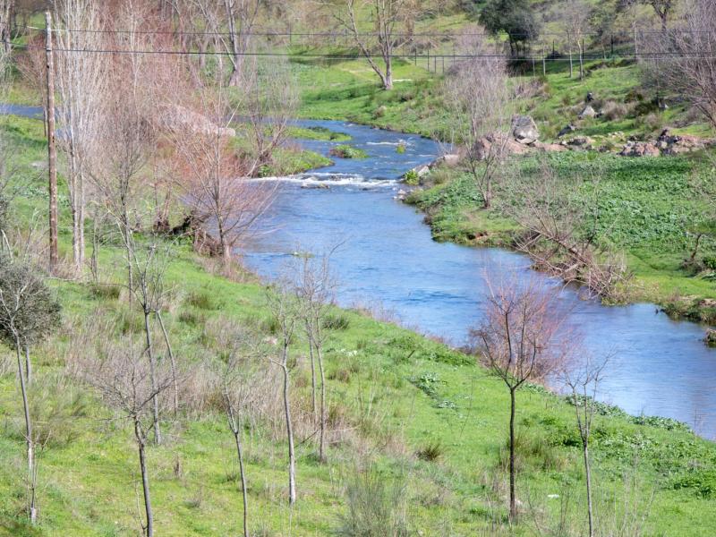
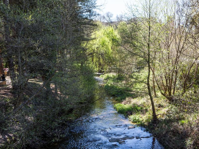
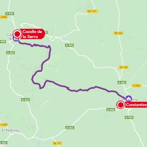
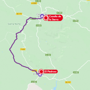
In Cazalla de la Sierra, the Rivera del Huéznar runs 15 km of its total length of 60 kms and flows through the Natural Park from north to south, perpendicular to the geological formations it crosses, composed of slate, granite, limestone and quartzite.
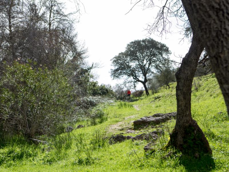
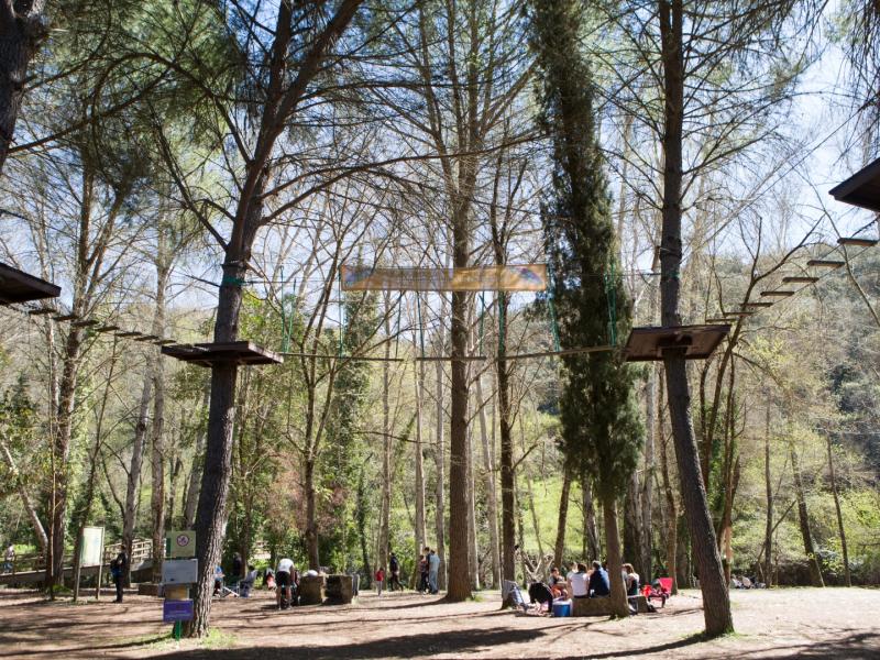
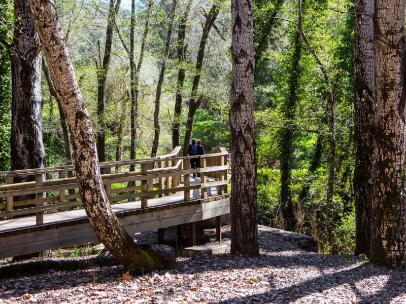
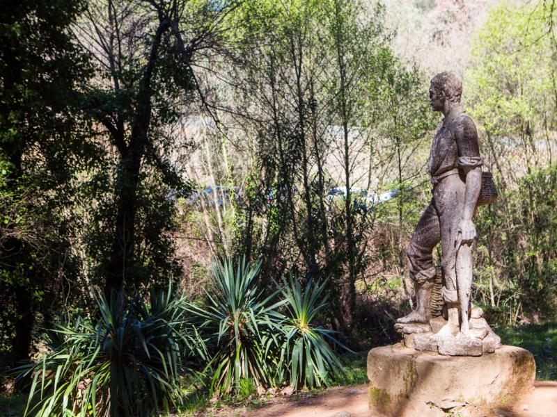
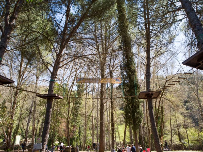
The easy access to a large part of the river's surroundings as it passes through the municipality of Cazalla de la Sierra has meant that it has traditionally been used by the public as a place for leisure and trekking.
Access is free from the A-455 road from Cazalla de la Sierra to Constantina. It can also be reached on foot via the Las Laderas path.
Facilities: Margarita Island, Molino del Corcho and Castillejo recreational areas. Marked Molino del Corcho and Las Laderas trails.
________________________________________
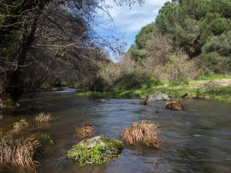
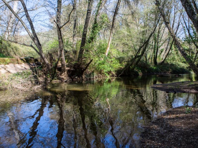
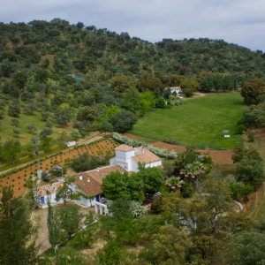
The Rivera del Huéznar marks the northwest limit of the municipality of Constantina, separating this municipality from Cazalla de la Sierra. Near the river, in the municipality of Constantina, is the Cabeza de Ajo hill, with an altitude of 727 m, populated cork oak woodland and dehesa, with some patches of oak and chestnut.
A section of the Seville’s Sierra Morena Greenway runs through Constantina, parallel to the course of the river. This Greenway has been laid out along the route of the old mining railroad that ran from the Cerro del Hierro to the Cazalla-Constantina station.
________________________________________
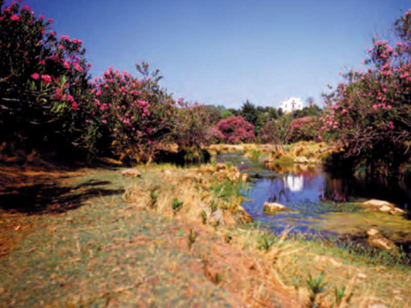
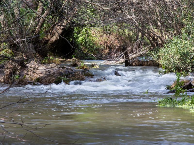
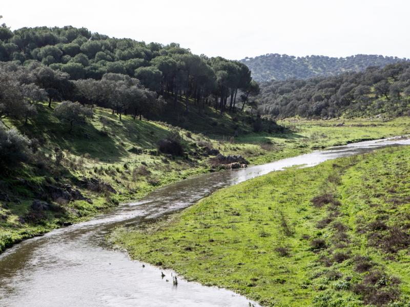
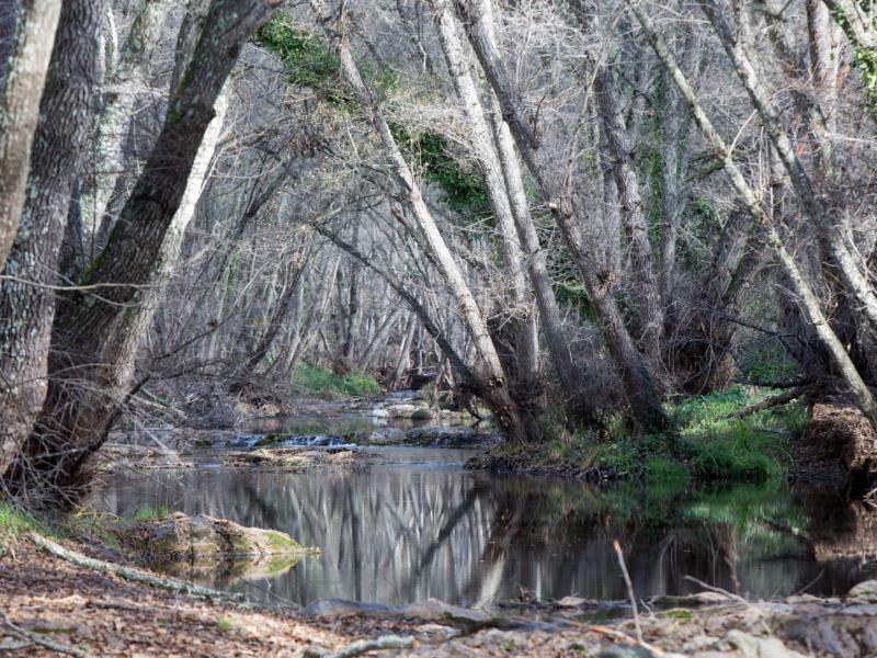
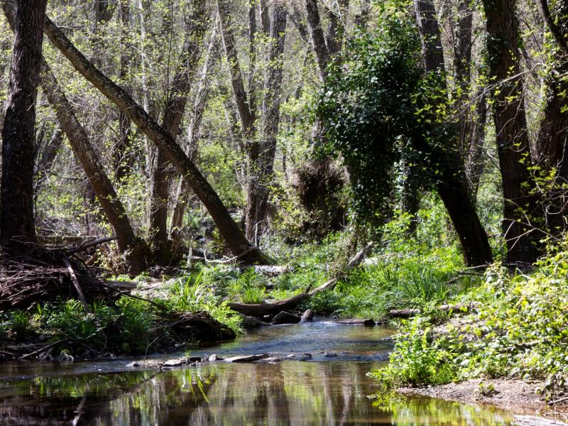
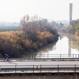
The Rivera del Huéznar enters El Pedroso from the northeast, and runs from north to south along the eastern part of the municipality until it reaches the area where it is regulated by the reservoir of the same name, which it leaves marking the boundary between El Pedroso and Constantina. Before the reservoir, the river runs through the Sierra Norte Natural Park, accompanied in some sections by gallery forest, which is largely replaced by oleanders and bushweeds.
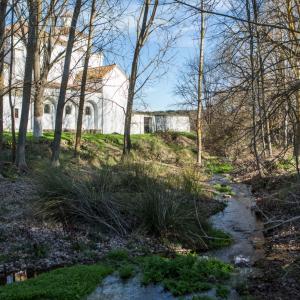
A few kilometres from the town centre, at the confluence of the Rivera del Huéznar and the Arroyo de San Pedro, is the El Pedroso Factory, also called the Iron Factory, a reminder of this municipality's mining tradition. It is the remains of a large industrial complex, which had steelworks, workshops, a hydroelectric plant and housing for workers, which remained in operation until 1895
Access is free along the A-452 in the direction of the municipality of Constantina or by the A-432 road in the direction of Cazalla.


0 comments
New comment
The comments are moderated, so it takes a while to appear. If they contain offensive language they will not be published.